
In The Field: Log 001
If you’re reading this, lucky you! You are reading the first entry in what I hope will be a recurring series of monthly-ish posts that highlight what I’ve been up to at work. I love my field-oriented career in geophysics, and I often collect interesting datasets from different job sites in NJ, PA, NY, DE and beyond. So here we go.
The first week of 2026, I started my new job at Advanced Geophysical Services, formerly EPI Geophysics. They acquired Advanced Geological Services at the end of 2025. My very first project with AGS was a standard predrilling investigation to identify subsurface utilities, obstructions, or anomalies that should be avoided during upcoming drilling work. During GPR data collection, I stumbled upon an anomaly which exhibited characteristics I am very familiar with.

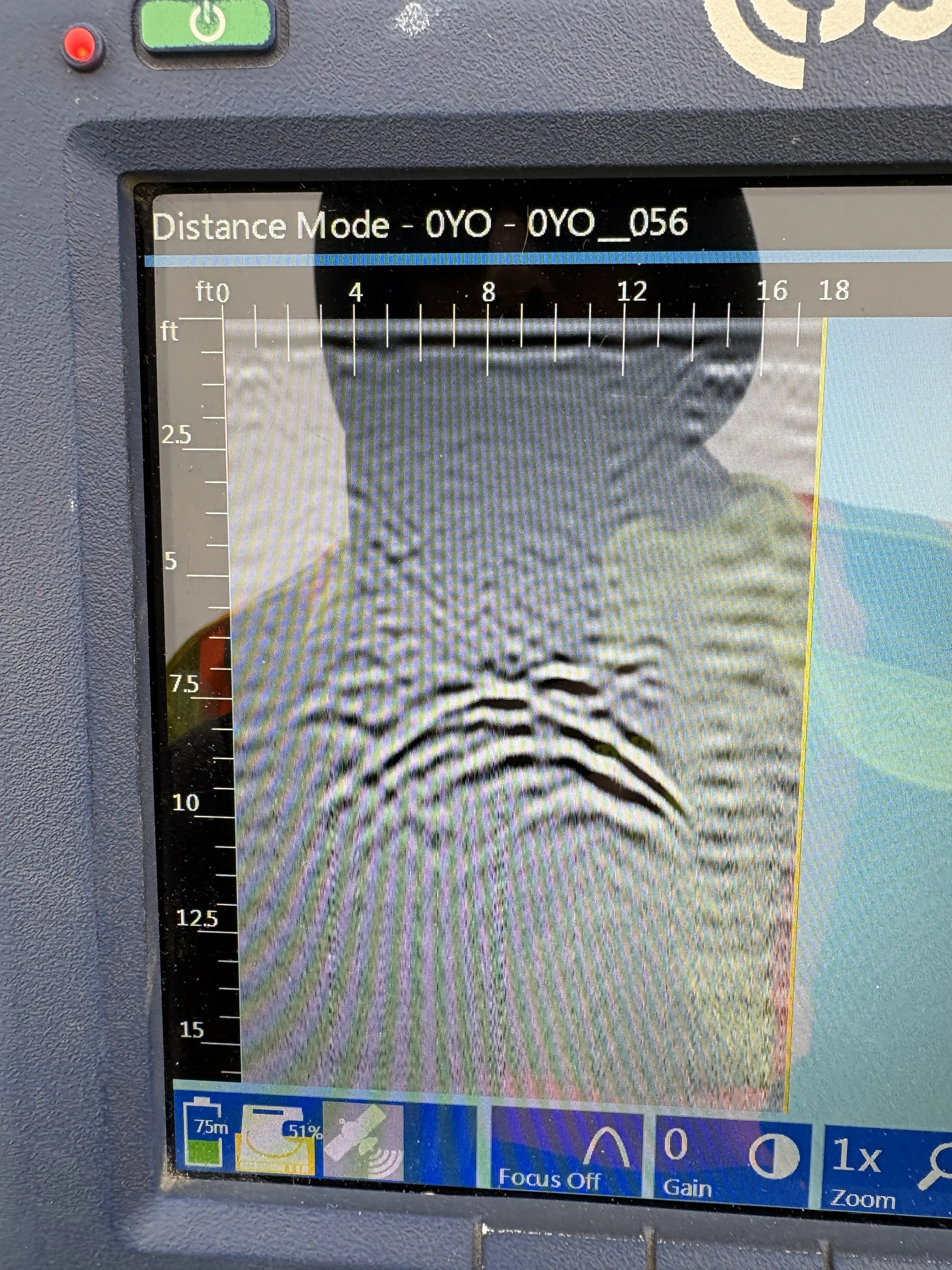
An undocumented underground storage tank. Finding a UST isn’t uncommon in this line of work - especially in northern NJ - but this dataset is so characteristic that it is worth sharing. The rectangular shape in plan view, and the curve of the top of the tank on the GPR profile (photos 1 and 2 above) is a dead giveaway.
Something else I am guilty of: Birding on the job. I can’t help it - I work outside and I love birds. Here is a male Downy Woodpecker I spotted hunting for some grub at a job site.
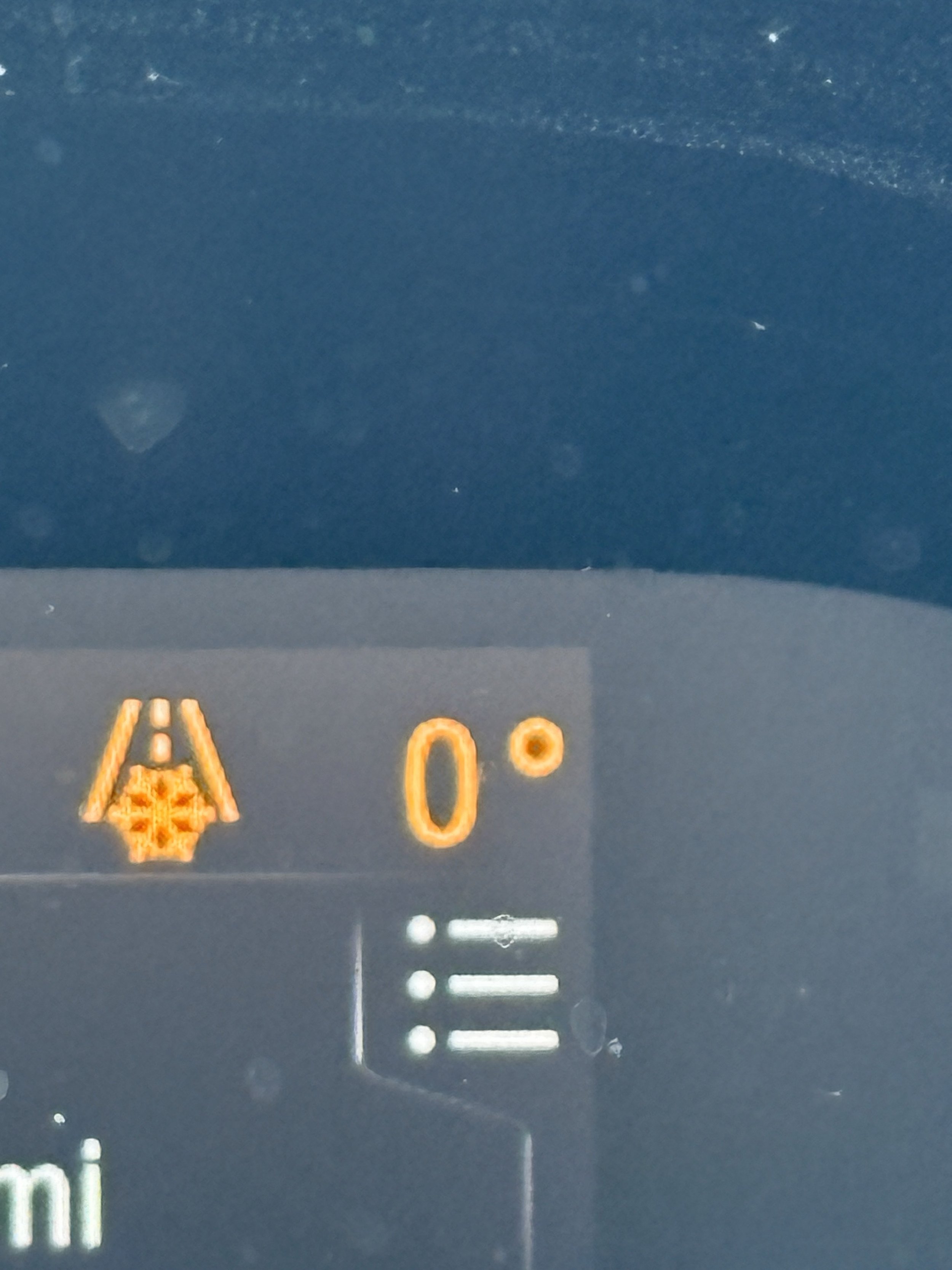
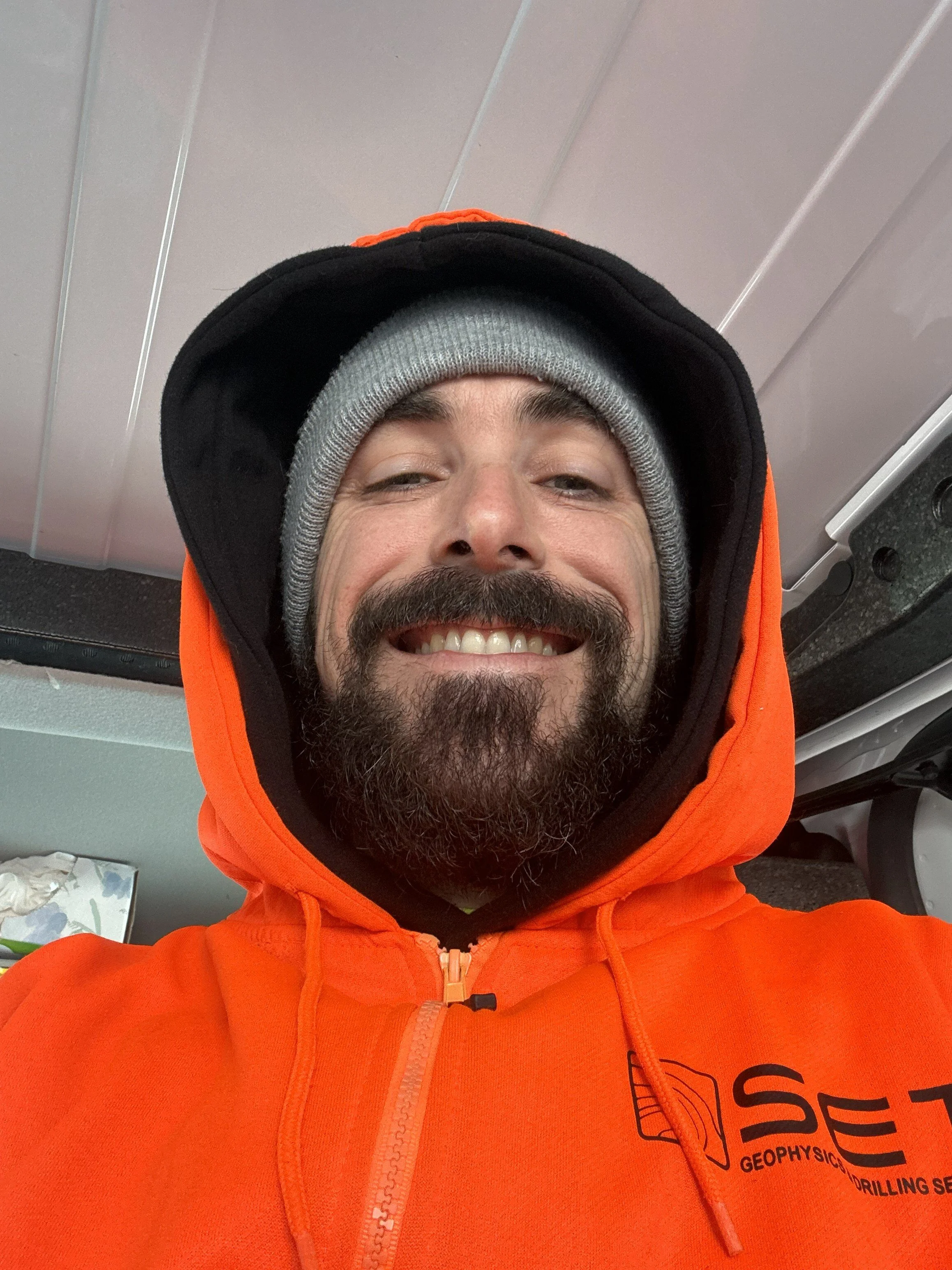
I’ll share one more project from the past month. At the end of January I headed up to Lake Ariel, PA - about 15 miles due east of Scranton. If you were working outside the past couple weeks, you know: It was frigid. One morning it was -5°F when I arrived on site at 8AM, and the high was 10°F. This was the coldest day I’ve ever had to work. Ice buildup was significant below the plug when we opened the well. You can see me smiling through the pain of frostbitten fingers (photo 6 below), wearing my vintage Subsurface Environmental Technologies (RIP) thermal hoodie.
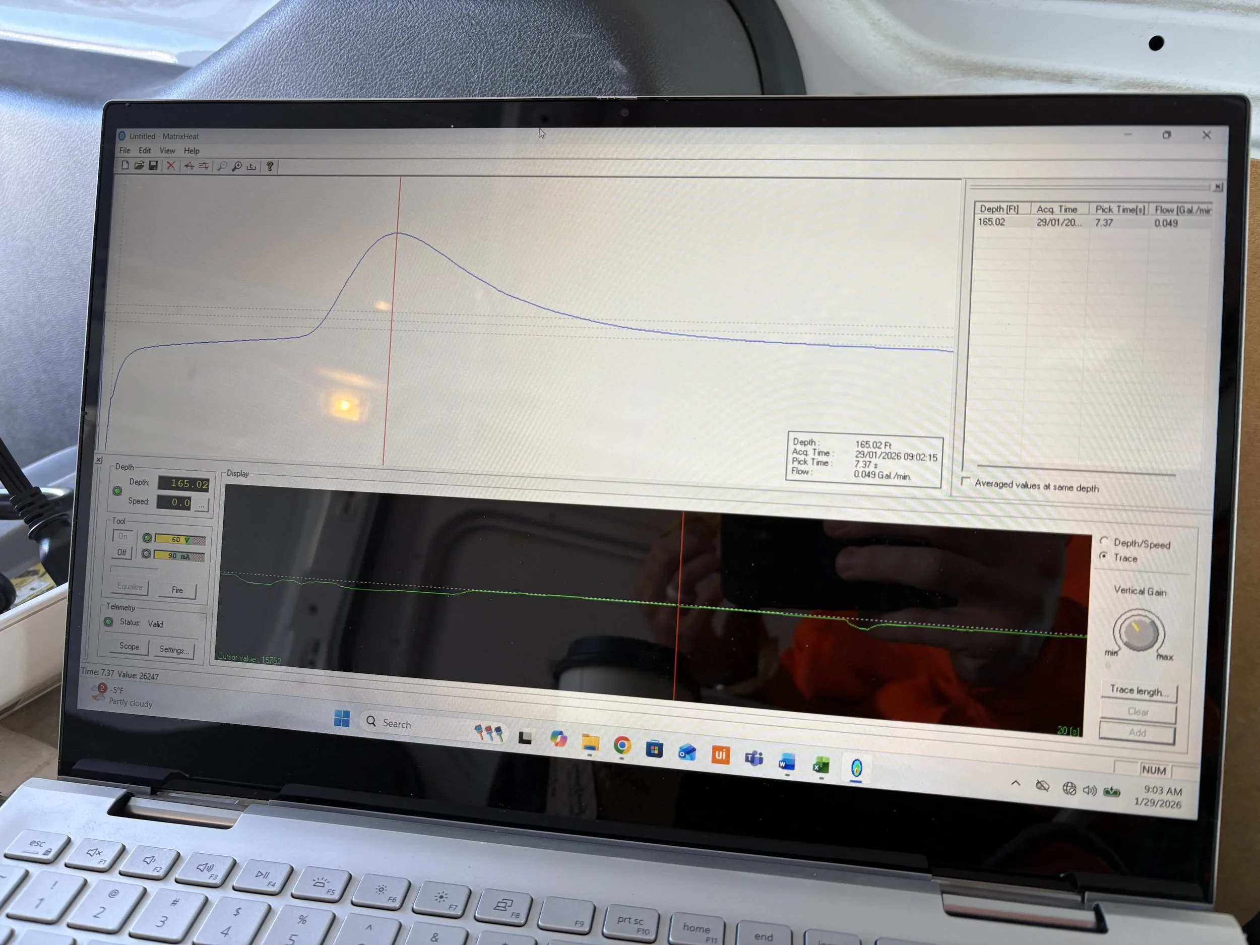
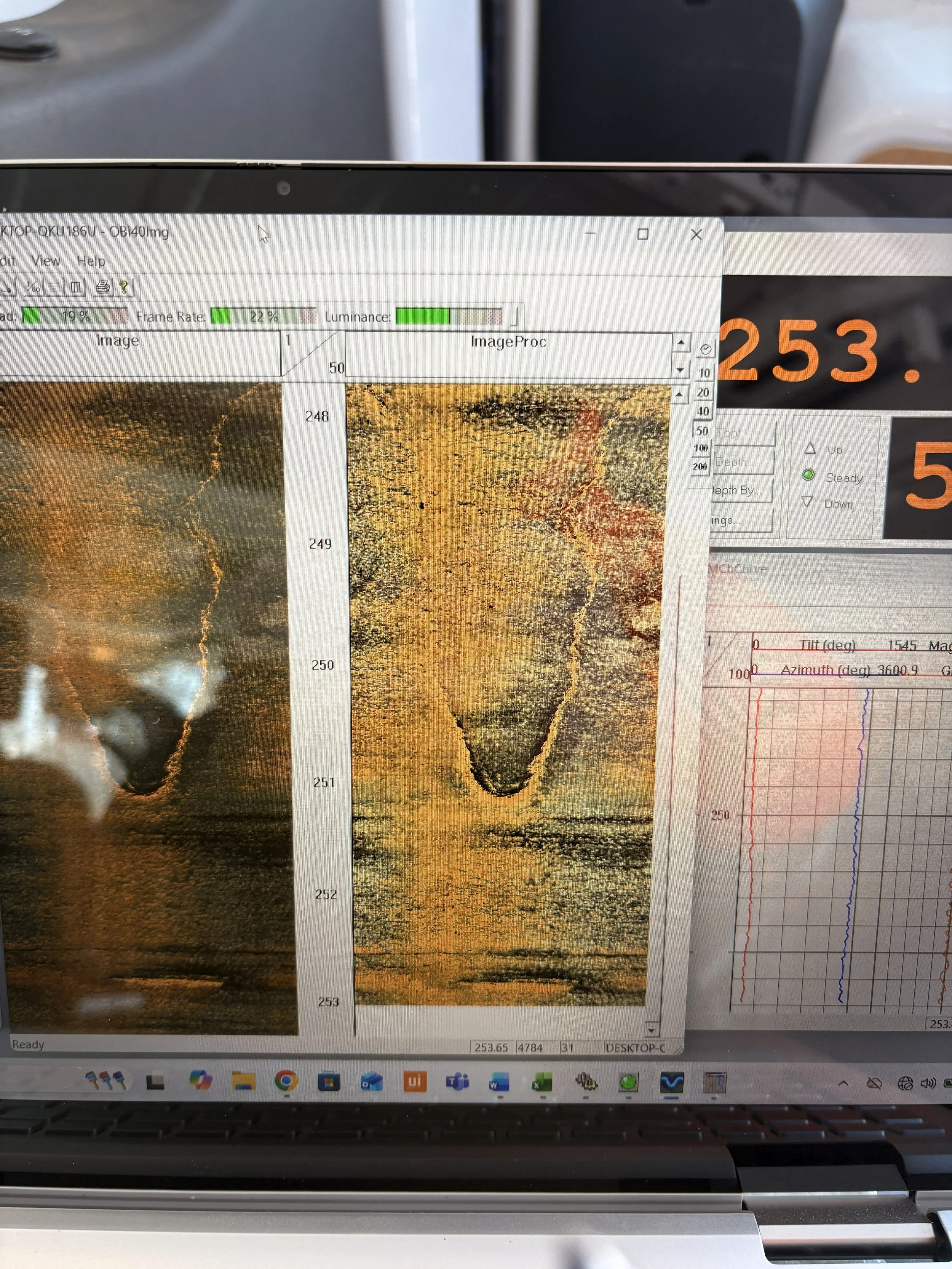

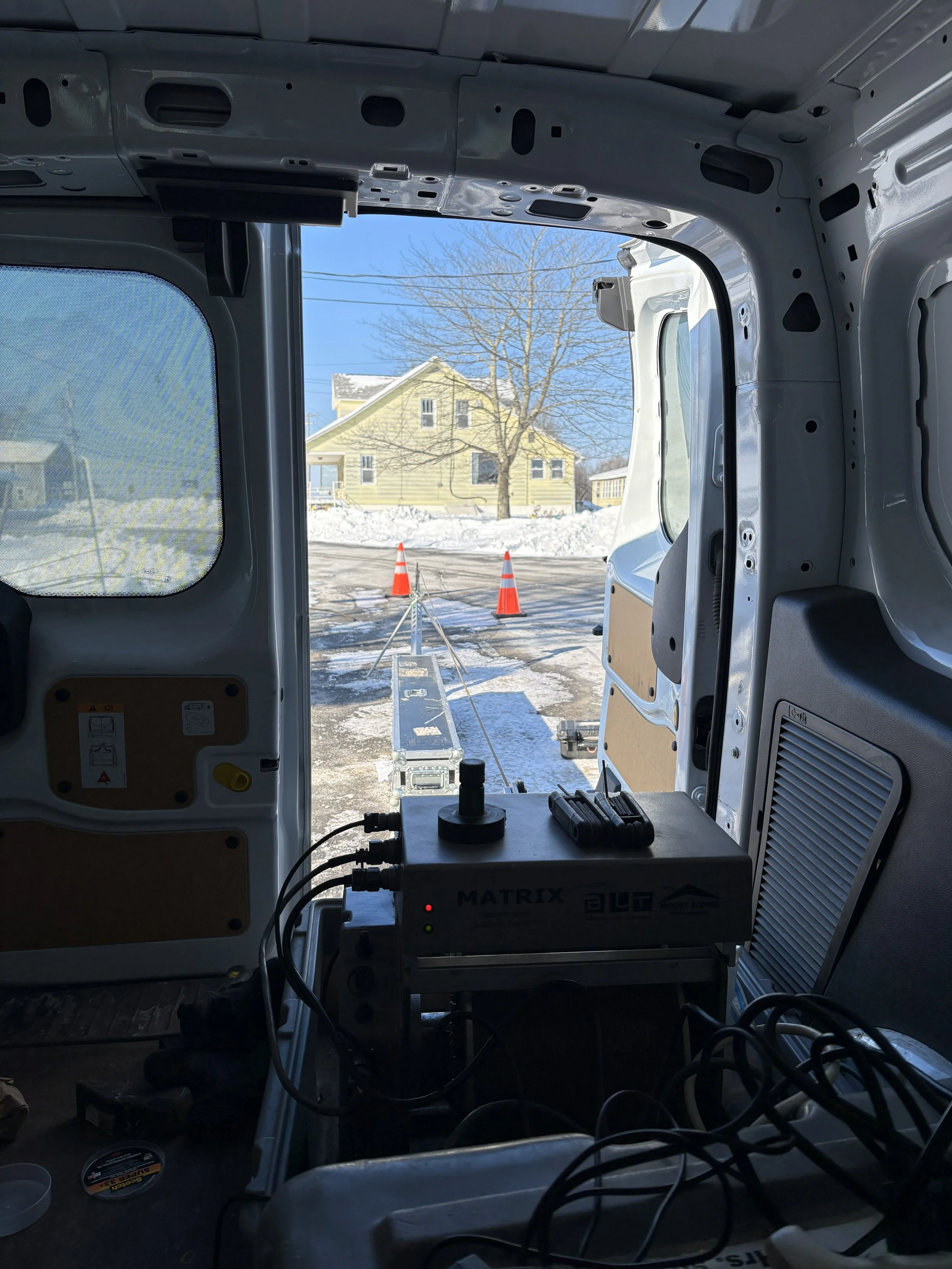
We were contracted to collect geophysical data within two open boreholes, each 300' feet deep. This is my favorite geophysical method - borehole logging is relatively relaxed and provides an incredible view into localized lithology and hydrogeology. The site itself was just a parking lot, but the data provided much more to look at. Plenty of fracture zones, including some steeply dipping features, and signs of slow upward flow within the one borehole (photos 1 and 2 above), indicating groundwater movement between fracture zones at different depths.
Until next time…