Recently, I have been involved in some very fun projects! Notably, some seismic work has been coming through the pipeline. For any fellow geologists reading, this blog series is intended for a general audience, so I've opted for readability over technical detail.
Simply put, seismic waves are waves that travel through the earth. They can be generated by anything from earthquakes to raindrops, and pretty much everything in between. For our projects, we typically generate seismic energy by hitting the ground with a sledgehammer.
I must say, there is something primal and fun about collecting scientific data with a giant hammer!
The waves produced when the sledgehammer hits the ground travel along the surface and through the subsurface. When these waves encounter boundaries between different materials, such as the water table or the top of bedrock, some of the energy can be reflected back toward the surface. Sensors (geophones) placed in a line along the ground measure the resulting ground motion. This data can then be processed and interpreted to help identify the locations and depths of subsurface features.
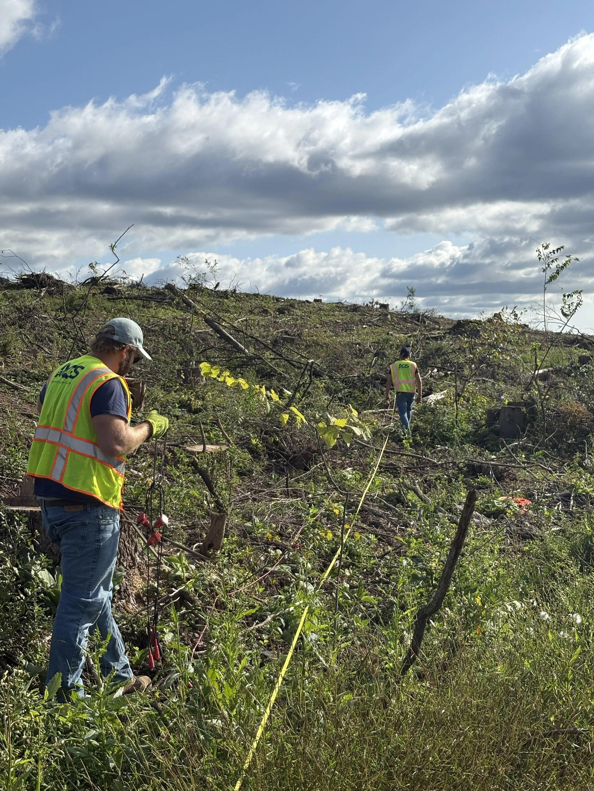
Here is an example of the seismic refraction tomography (SRT) method. My colleagues are laying out the transect tape and placing the geophones at regular intervals along the line. The EPA has a great page on the topic https://www.epa.gov/environmental-geophysics/seismic-refraction.
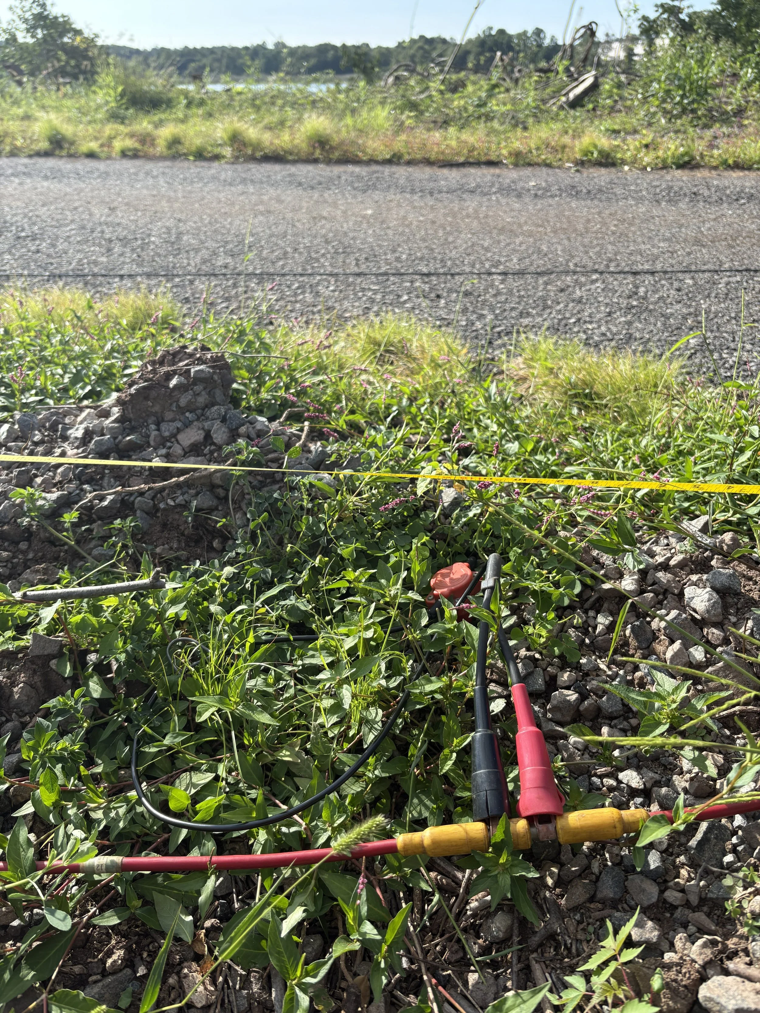
Each geophone is pushed into the ground and clipped to a data cable that runs to a seismograph, and into a field laptop. The data is collected, then processed in the office. The SRT method is great for estimating the depth to competent bedrock below the surface.
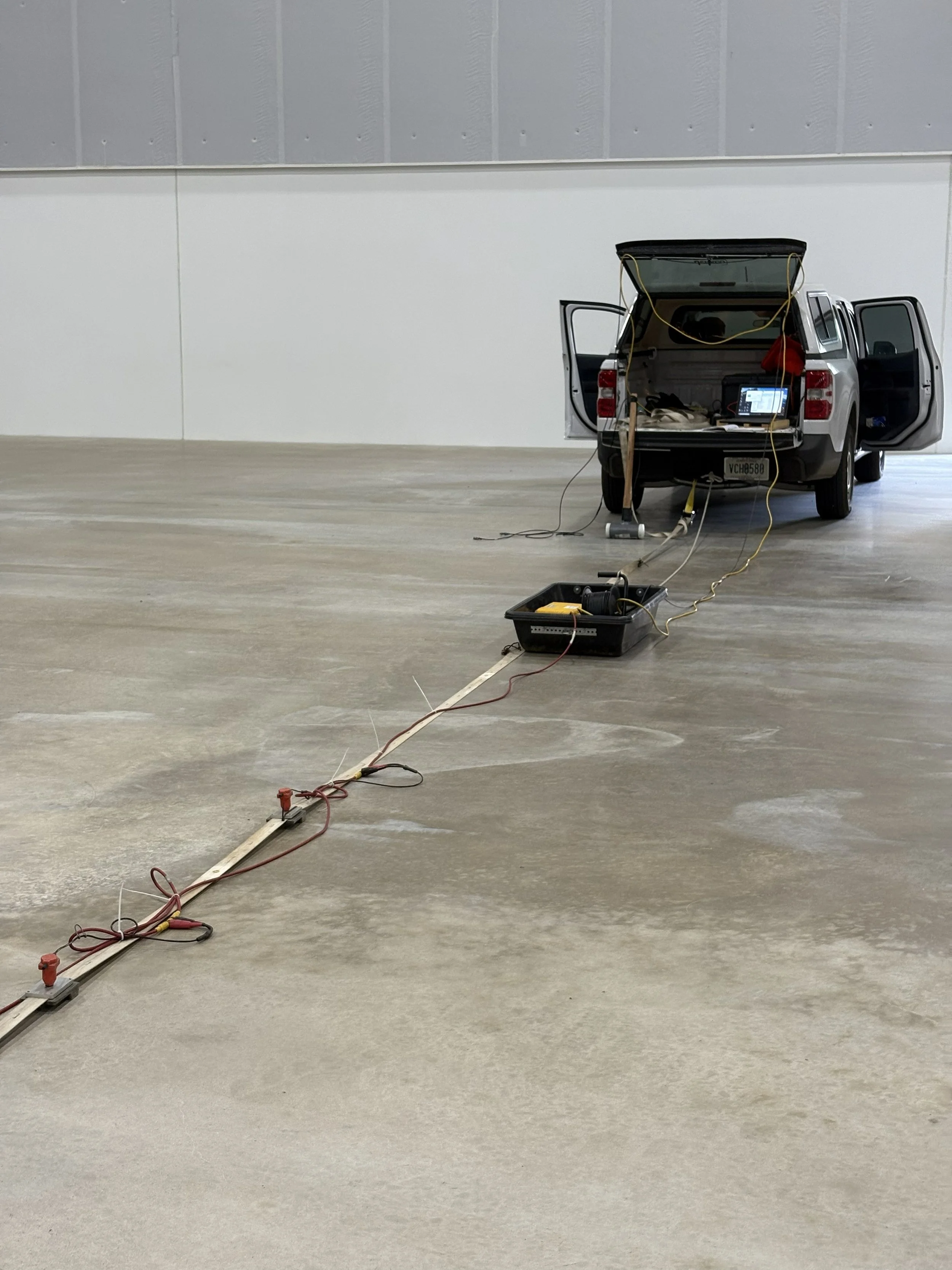
This is an example of the multichannel analysis of surface waves (MASW) method. In this scenario, the goal was to identify potential subsurface voids that could develop into sinkholes. The landstreamer setup shown in the photo was a new experience for me, and was impressive to see it towed behind a truck along the transect as we collected the data. Very cool!
Changing gears, our borehole logging work has been sparse. We used this time to get our winch serviced (it is old as dirt), and to purchase a new calibration tool for our 3-arm caliper instrument. The calibration process requires a full setup and a two-point measurement with the calibration tool. I was able to calibrate the instrument within an accuracy of ±0.1 inches. I went with an 8-inch and 21-inch diameter range. Here are some photos showing the calibration tool in action.
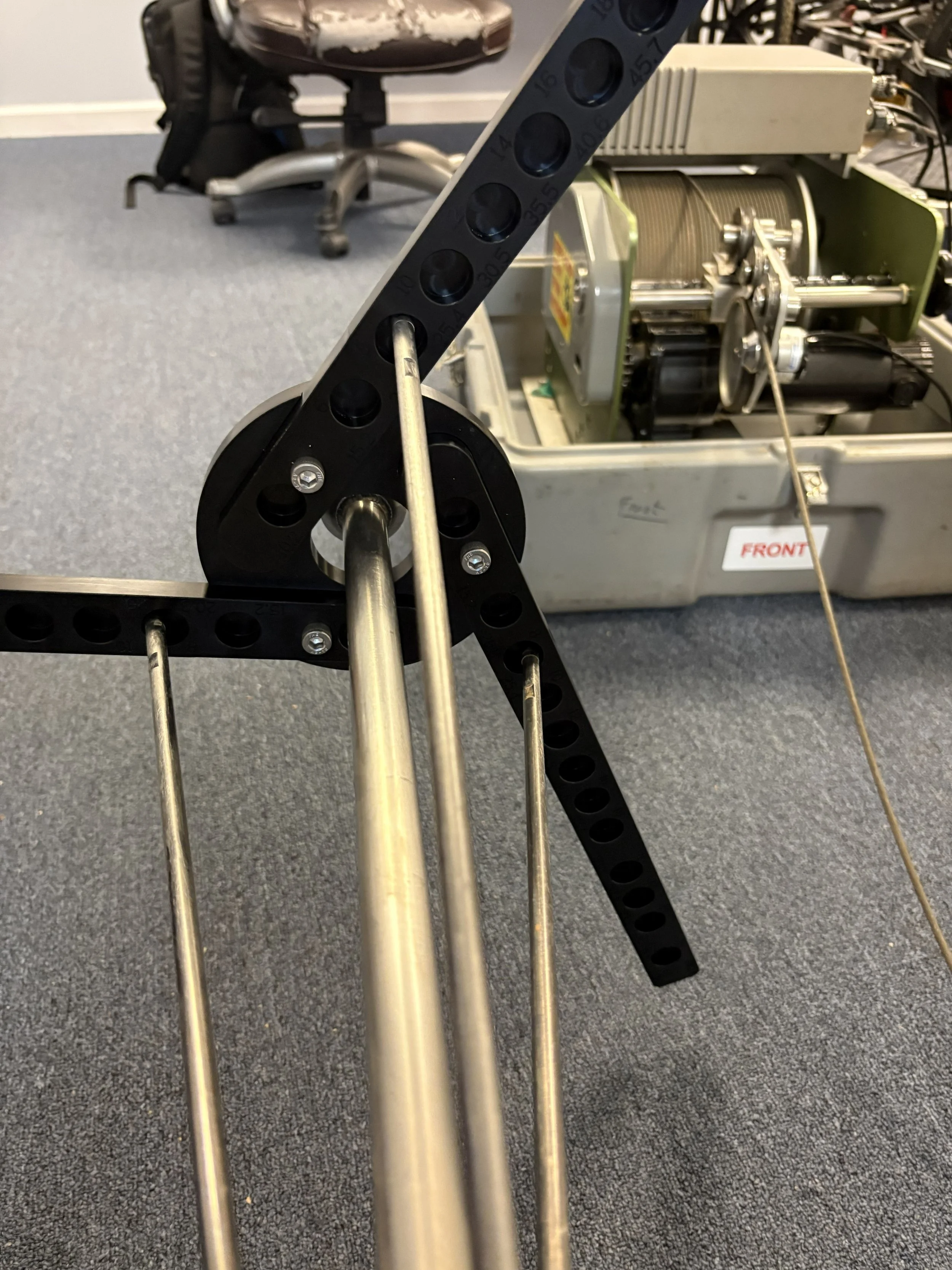
The three arms at the bottom of the caliper instrument are shown inserted into the 8-inch diameter grooves of the calibration tool.
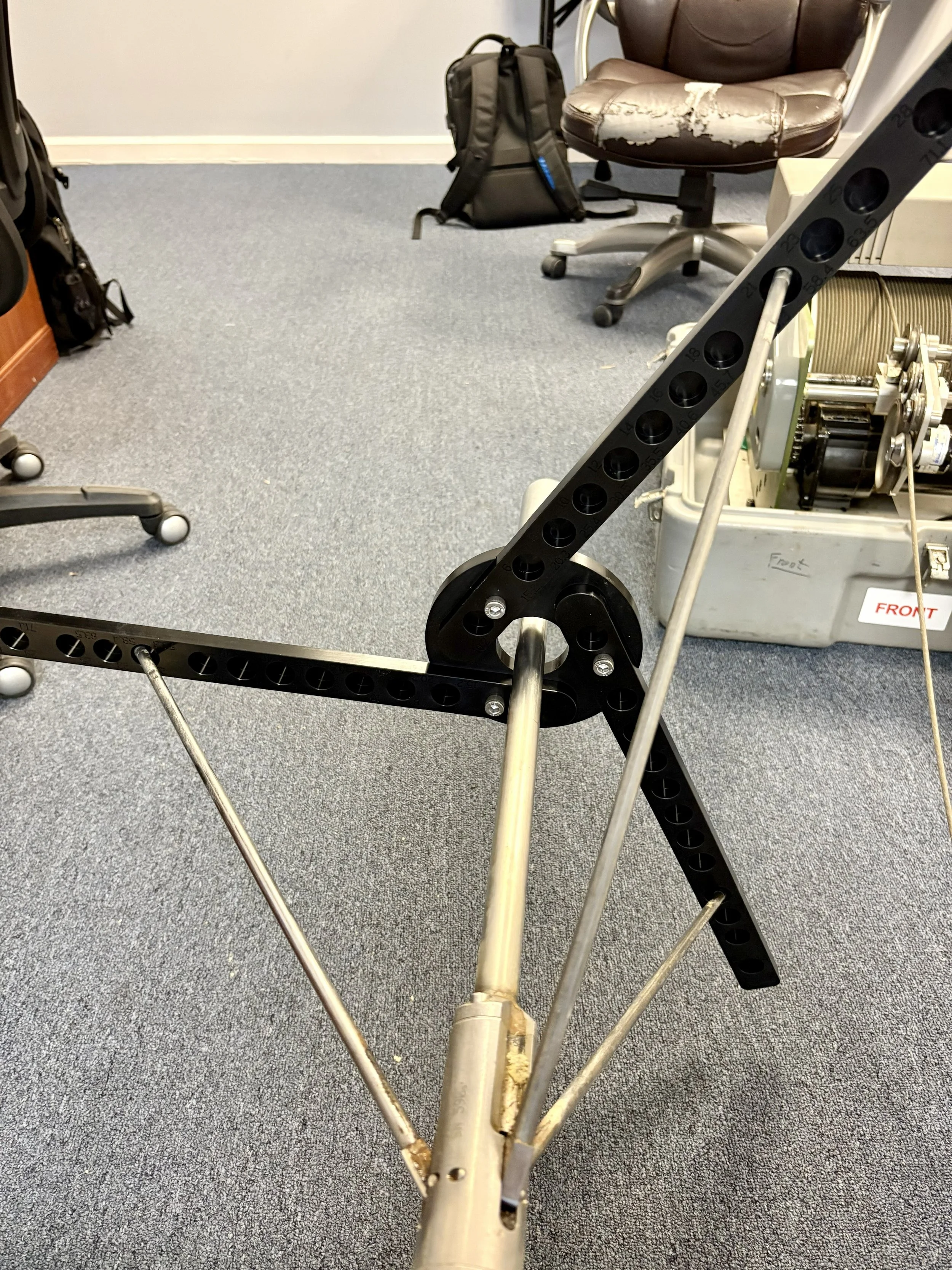
Now, the caliper arms are placed into the 21-inch diameter grooves for the second reading. A very simple calibration process, but pretty cool and essential for good data collection within a borehole.
Aside from the seismic work and borehole equipment maintenance, there have been a continuous influx of electromagnetic and private mark out projects. I should probably devote another post to the electromagnetic method, though the EM31 instrument is briefly mentioned in Log 002. Over the summer we had our EM61 serviced and it has been out on a lot of projects since! I am the primary operator of that tool and I have a great time with it, looking for buried metal objects is also primal and fun, like a treasure hunt. Below is a photo of myself with the EM61 and some additional photos of random happenings “in the field”.
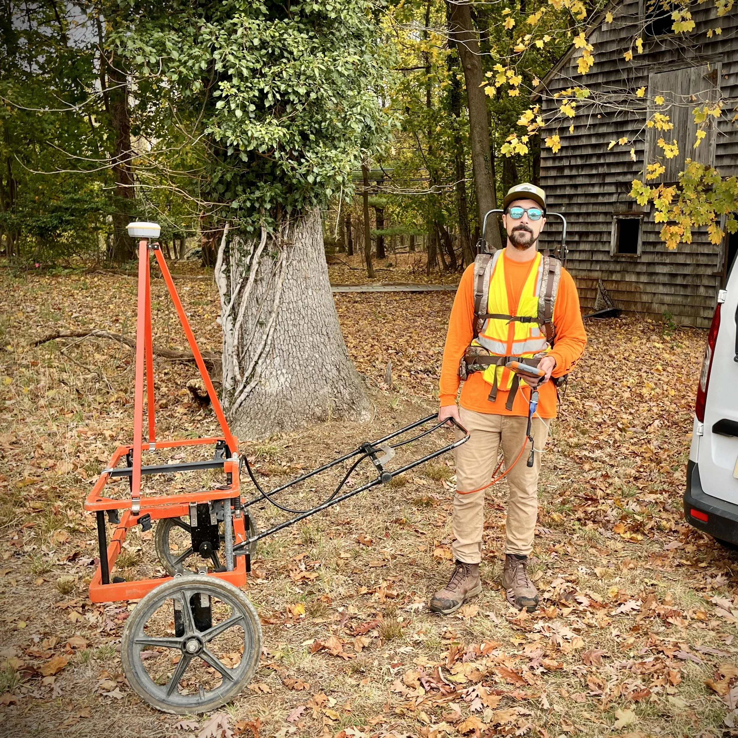
I didn’t realize how orange this photo was going to turn out! Between the high-viz PPE, orange equipment, and fall foliage on the ground… wow.
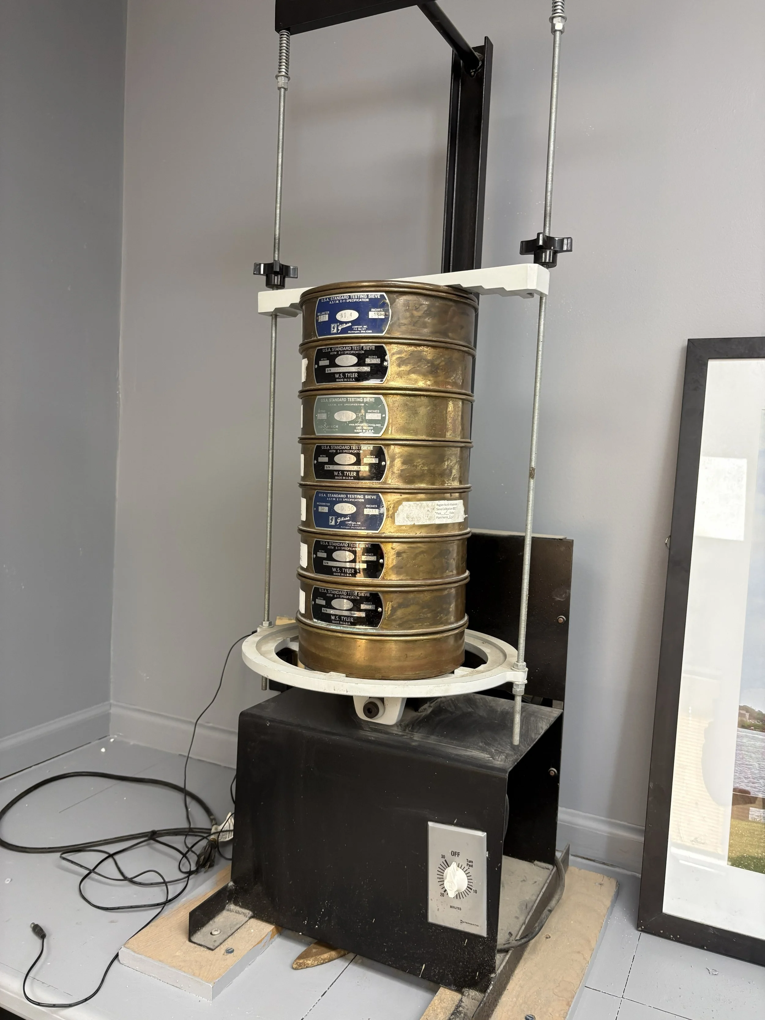
I spotted this sieve series at a job site and had to take a photo. I used a similar setup in my Soil Science class back in college. Soil is placed in the top pan and passed through a series of progressively smaller screens. The entire stack is then shaken, separating the soil particles by grain size. The amount of soil retained in each pan can be used to determine the grain-size distribution of the sample.
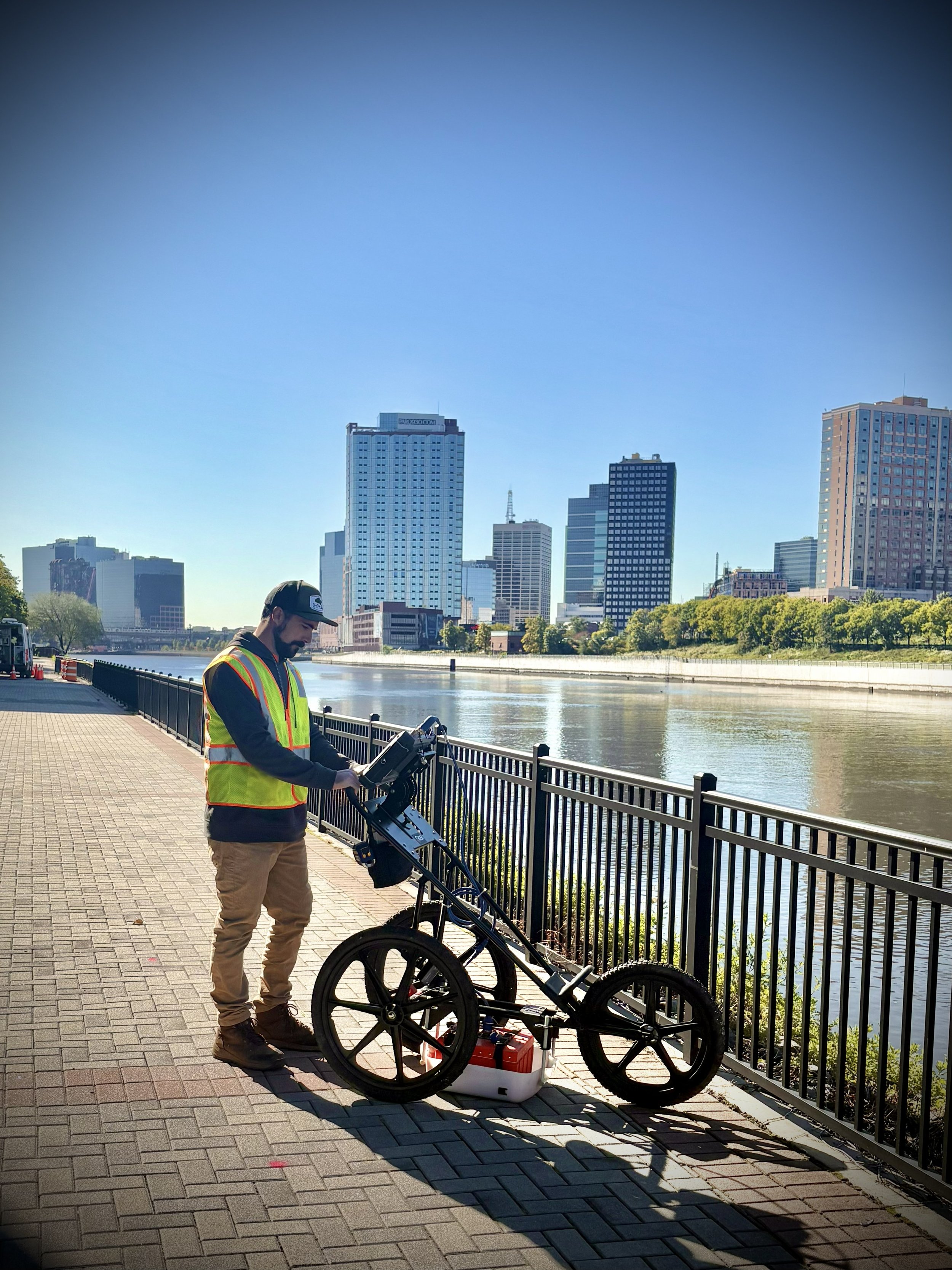
The Passaic River is a major waterway in northeastern NJ, and this site provided a great view.
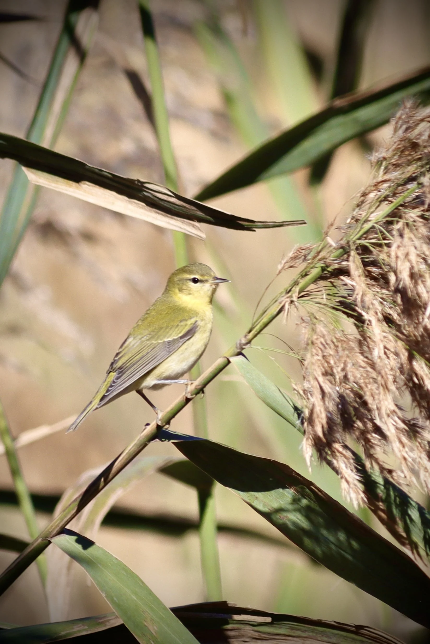
No field adventure is complete without a little post-job birding. This was my first time seeing a Tennessee Warbler. Added another lifer to the list!